dnrgps 6.1

Free It enables you to transfer data between GPS receivers and GIS application
3.7 
Rating
Your vote:
Latest version:
6.1.0.6 See all
Developer:
DNR
Screenshots
1 / 1
Freeware
Request
Download
link when available

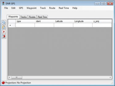
DNRGPS is an Open Source update to the popular DNRGarmin application. It provides users the ability to transfer data between handheld GPS receivers and GIS application. This program integrates GIS applications (ESRI’s ArcMap, Google Earth) with GPS units. It uses a C# program that interacts with the GPS via a serial/USB port allowing GIS users to transfer Waypoints, Tracks, and Routes from a GPS to ArcMap or Google Earth and store them as points, lines or polygons.

Comments (1)

3.7
Rating
192 votes
5 stars
84
4 stars
32
3 stars
26
2 stars
29
1 stars
21
User

Your vote:

R
rating Ricardo da Cunha Lopes
Very easy and useful

Was it helpful?  yes(0) no(0) | Reply

Facebook comments

Related software

GPS TrackMaker
GPS TrackMaker
Free
rating

It is the most complete free program for GPS devices.

PocketMax3
PocketMax3
Free
rating

You can communicate with HemisphereGPS receivers and OEM boards.

Skylab GPS Simulator
rating

The simulator provides a complete suite for all your GPS simulating needs.

Map Grabber
Map Grabber
Free
rating

Program that will capture maps from websites.

Trekker Map Manager
Trekker Map Manager
rating

Map Manager offers an easy and intuitive way to get to a new destination address

Related suggestions

Tags

Transfer maps GPS receivers GPS Data Map viewer DNRGarmin